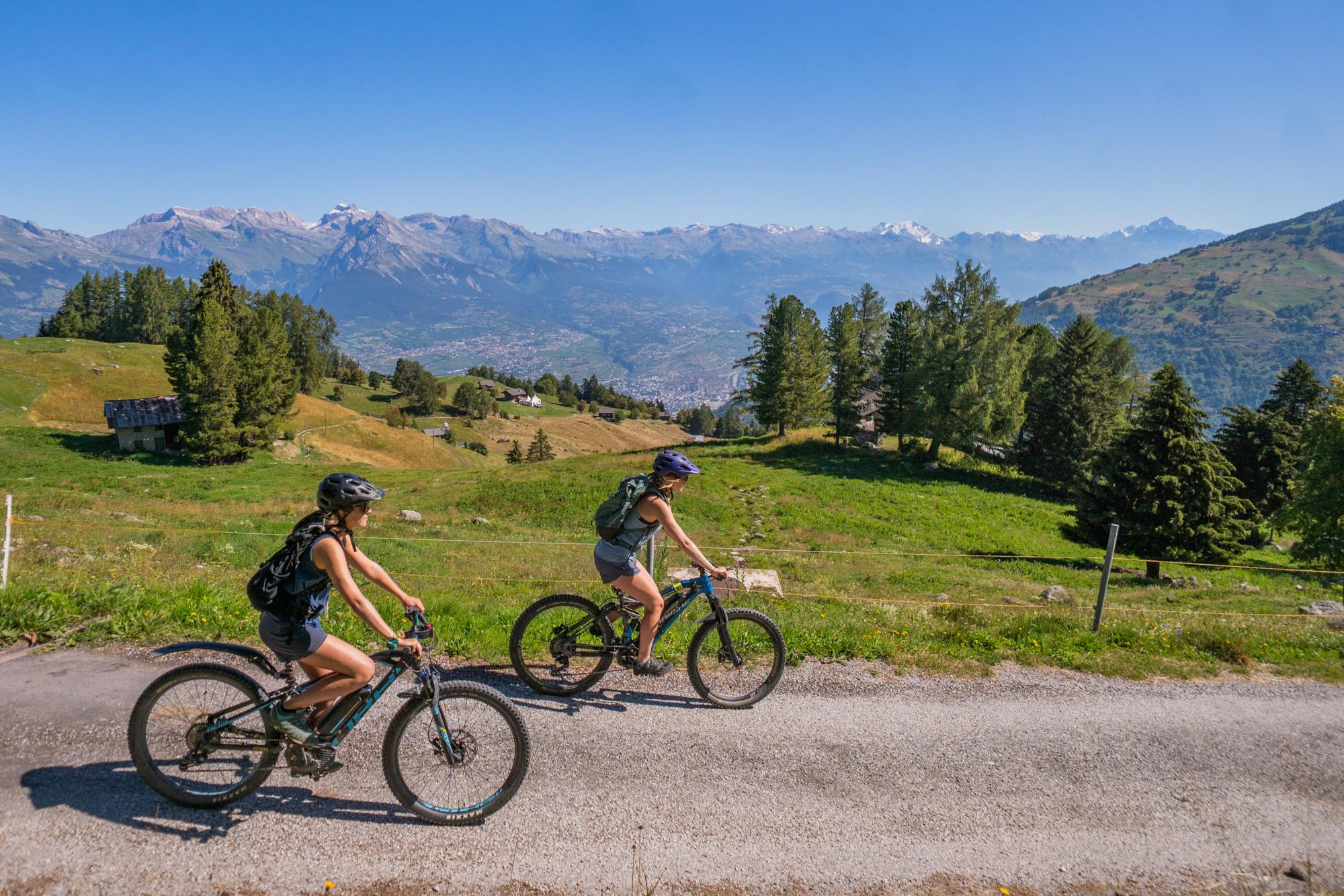
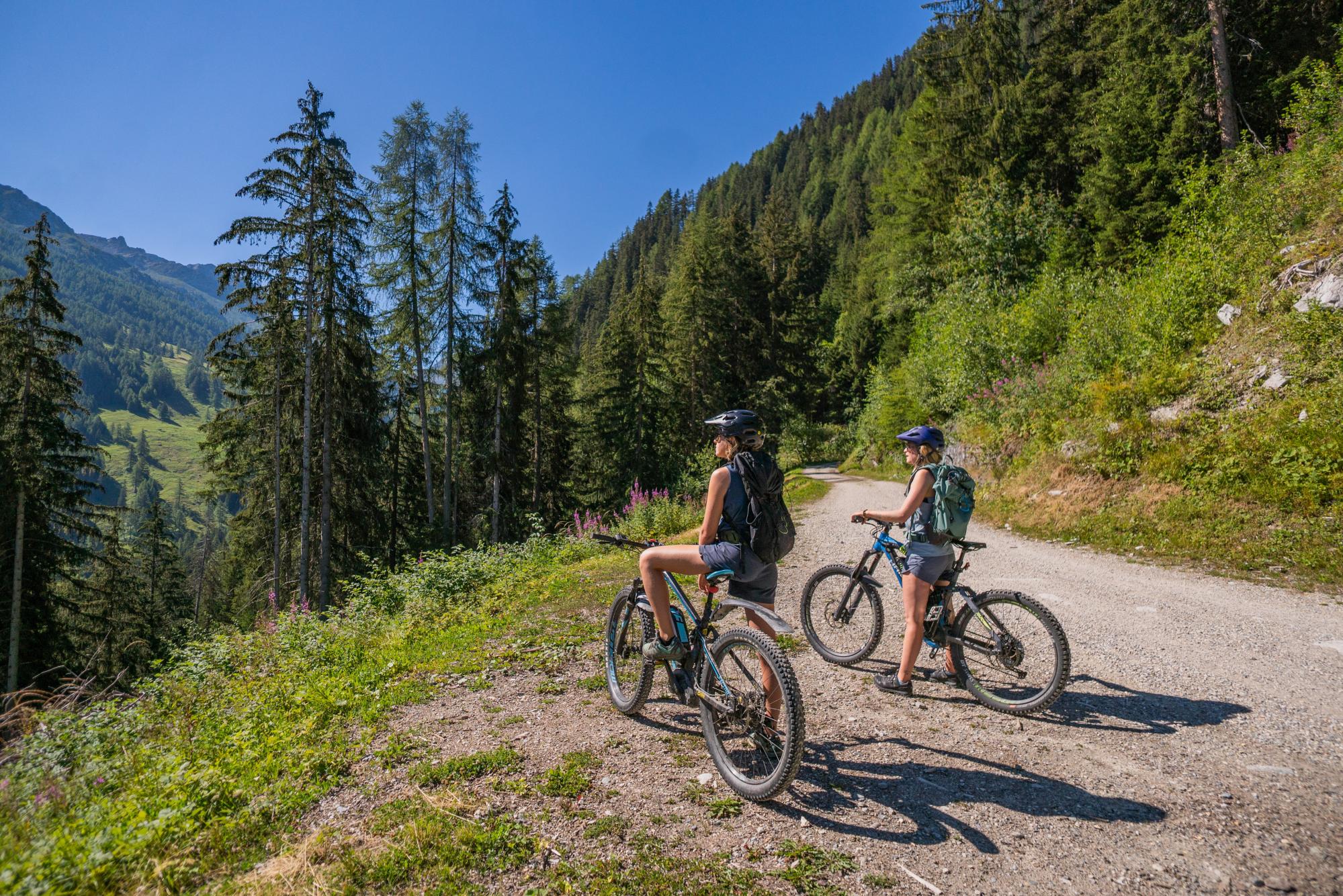
MTB-Trail Siviez
MTB & E-bike
The route from Haute-Nendaz to Siviez is via the l’Aplanie forestry track. Half way, stop for a break on a terrace of one of the restaurants in Planchouet to enjoy the surrounding scenery. Follow the banks of the river Printse and come back to Haute-Nendaz via Saclentse, another village in the district of Nendaz.
- Accessible by public transport
- Loop

From the sports centre in Haute-Nendaz, set off towards la Péroua and follow the signpost number 129.
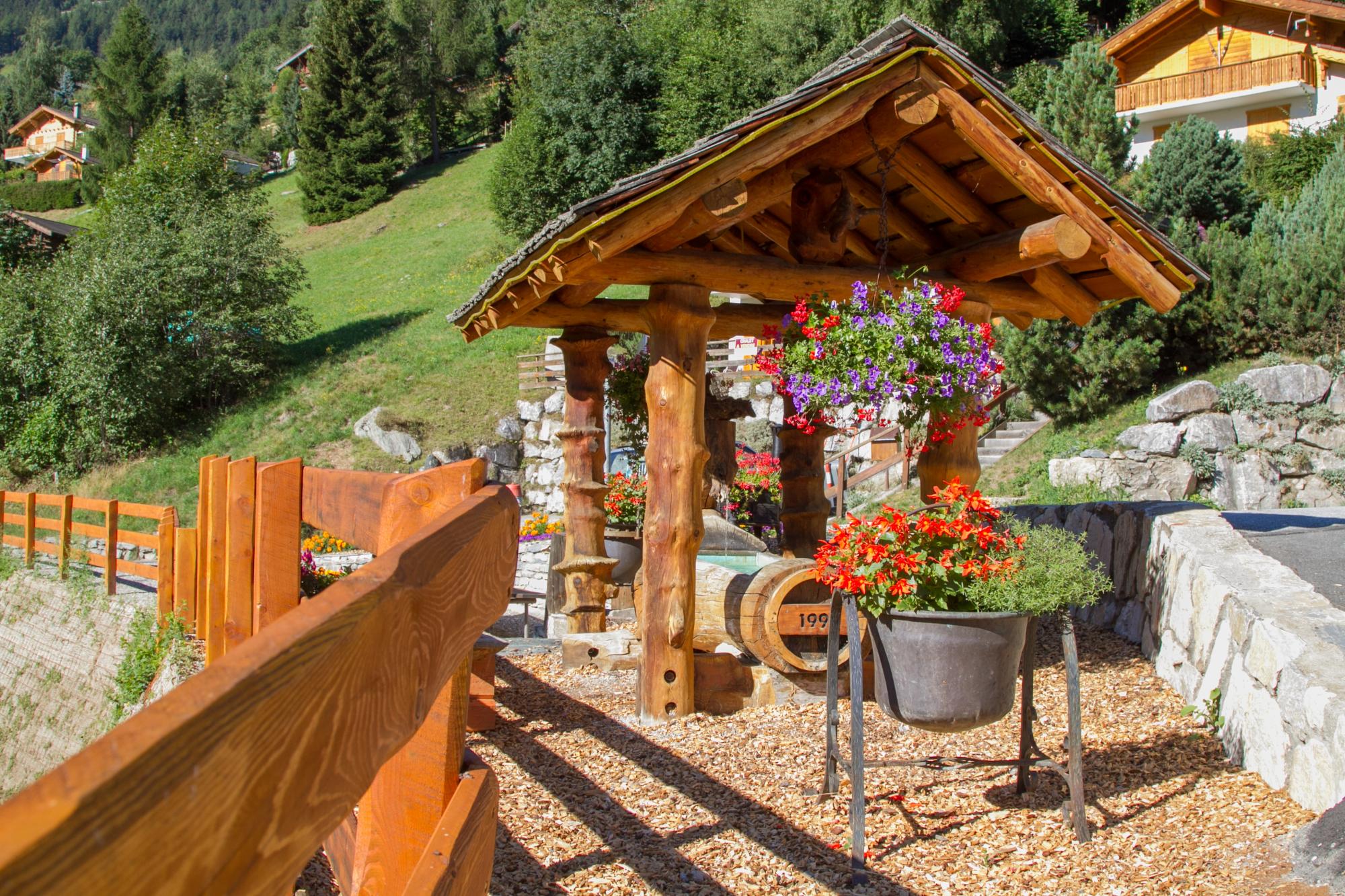
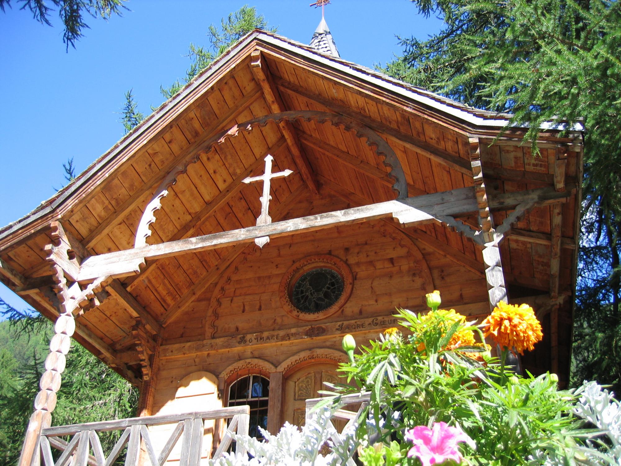
Continue uphill towards Solfeu and follow the forestry track the Aplanie towards Siviez. When you arrive in Siviez, the return trip is via the main road until you reach the junction leading to Planchouet. Stop in one of the three restaurants in this charming hamlet and don't miss the quaint little chapel there.
Cross the bridge after the chapel and follow the road downhill. Take the second path off to the right. The path zig zags down through the forest before returning on to the road.
Follow the signpost for «Haute-Nendaz Saclentse», cross the road and cross the pont de la Scie (bridge). Continue along this dirt and gravel road until you reach Saclentse, from where you can easily come back to Haute-Nendaz by road.