Hike Dent de Nendaz
Summer hikes
This high altitude hike takes you from the Dent de Nendaz to the Basso d'Alou, following the mountain ridge.
- Accessible by public transport
- Loop
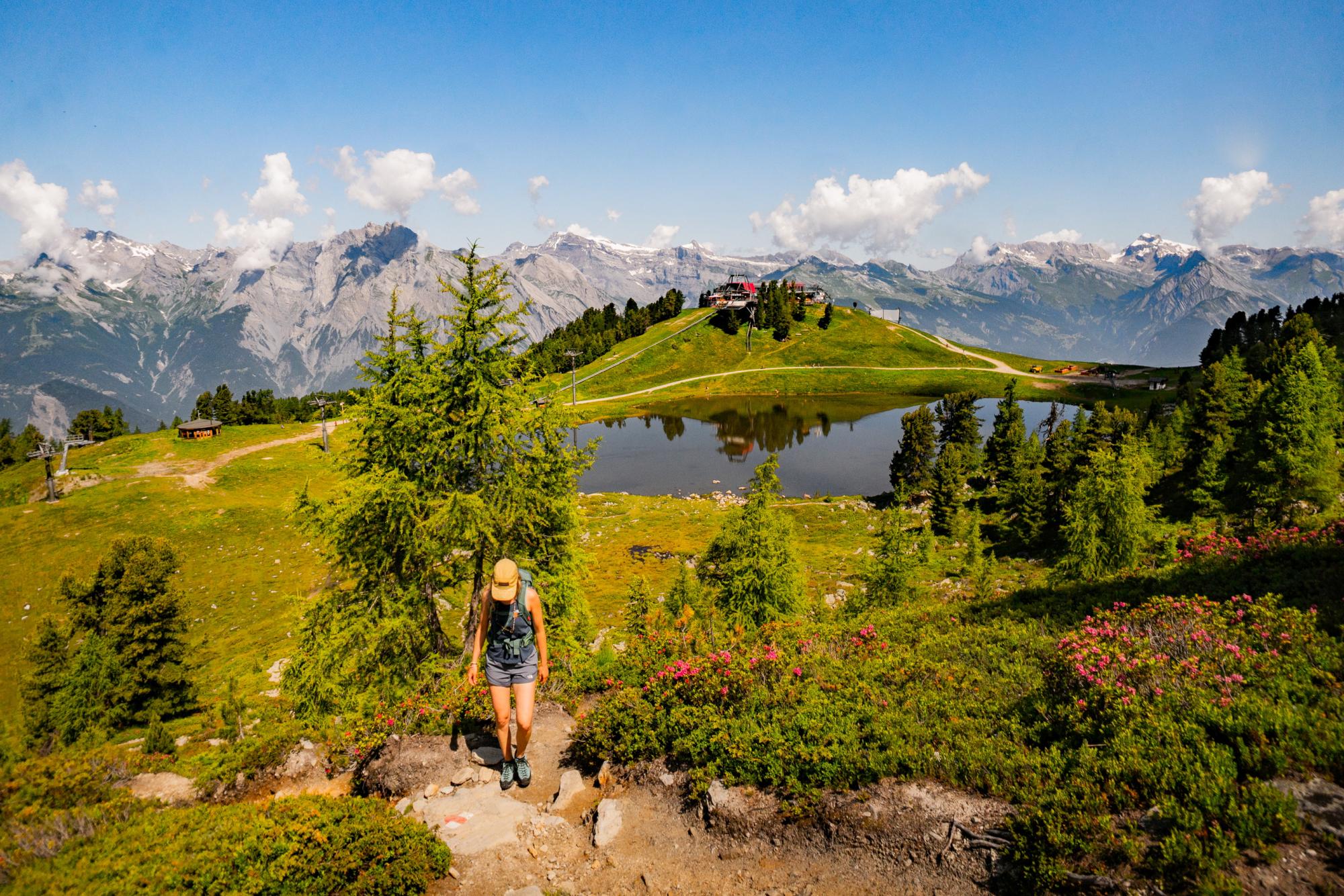


After a short gondola ride from Haute-Nendaz to Tracouet, take the path past the Lac Noir on the right. The climb to the Dent de Nendaz is via a mountain footpath. At 2'462 metres above sea level, next to the cross, enjoy the view over the lake and the surrounding mountains.
Follow the ridge that continues towards the Basso d'Alou. Stop for a moment at the top of the Pointe de Balavaux to admire the view of the Cleuson dam and the Val de Nendaz. From there, begin the descent to the Basso d'Alou
Once at the pass, take the path that zigzags down towards Prarion/Balavaux. This technical descent between the rhododendrons leads you to a small dirt track in the midst of hundred-year-old larches. Follow it to the pasture and the Balavaux cabin. From the cabin, the return to Tracouet is along a dirt track.