Hike Tracouet
Summer hikes
This hike follows different types of paths and takes you through many different landscapes. With over 900 metres of difference in altitude, this route is ideal for athletes !
- Picnic area available
- Accessible by public transport
- Loop
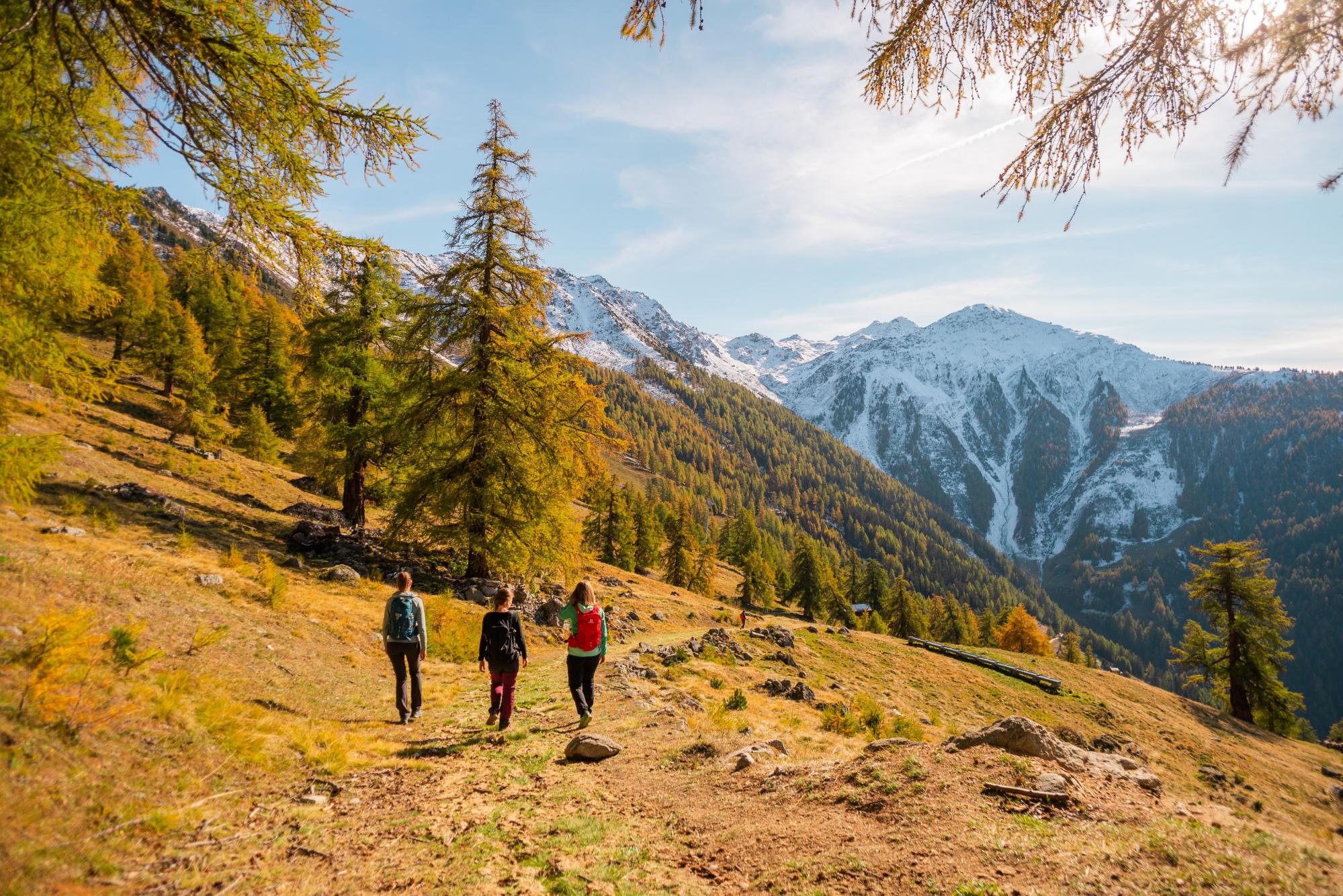


Begin your hike at the Plaine des Ecluses, in the centre of the resort of Nendaz. Go up to the Tracouet gondola departure station and continue your ascent up the ski slope. When you arrive at Les Clèves, turn right towards Les Rairettes and take the time to admire the charming little chapel below.
Continue on through the mid mountain pastures and meadows to the secret Gouille d'Ouché, hidden in the heart of the forest. After reaching the magnificent clearing of Pra da Dzeu, your path becomes steeper until you reach the Croix de Jean-Pierre and then Tracouet, the highest point of your hike.
After a well-deserved break on the banks of lake at Tracouet, begin your descent by following the alpine trail towards Balavaux. Cross the majestic forest of hundred-year-old larches to the Prarion mid-mountain pastures. Then follow the Bisse de Saxon back to the Pra da Dzeu clearing. From there, take the same path as on the way up back to Nendaz.