MTB trail - Tracouet
MTB & E-bike
This itinerary takes you from Haute-Nendaz to Tracouet via the Balavaux Larch trees. The descent to your starting point takes you through the mid-mountain pastures of Sofleu.
- Accessible by public transport
- Panorama / belvedere
- Loop

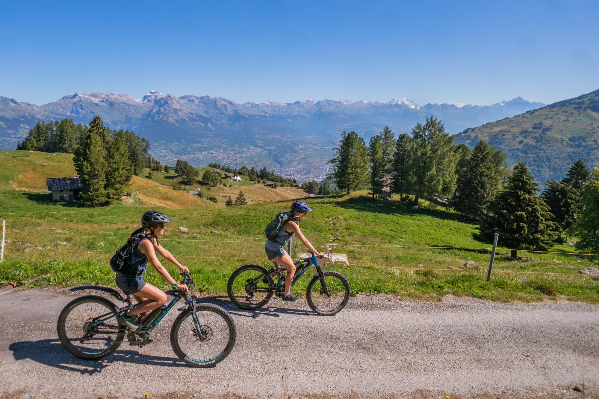
Departing from the sports centre of Haute-Nendaz, follow the mountain bike signposts number 132. Continue to climb towards les Crettaux and then Prarion. Pass by the huge Larch trees of Balavaux before arriving at Tracouet.
Enjoy the shores of the Lac Noir for a few moments before heading downhill towards Sofleu following the MTB signposts number 133. At the crossroads, turn left and follow the small road back to your starting point.